9 Underrated Road Trips Retirees Say Beat the Grand Canyon

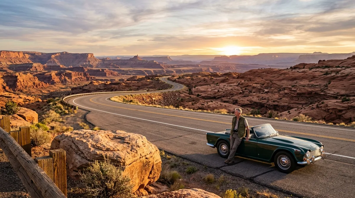
Skip the bumper-to-bumper shuttle queues and frantic timed-entry reservations of the Grand Canyon this season. The finest horizons across America belong to quiet secondary highways where you can pull over, kill the engine, and hear nothing.
You do not need a rugged four-wheel-drive vehicle to experience true solitude on the open road. These nine routes deliver unmatched geological formations, rich cultural history, and smooth asphalt tailored for a relaxed pace.
Cruise past ancient cliff dwellings, wind through hand-carved stone tunnels, and trace silent desert rivers.
Choose one route for your next getaway or string them together for a proper cross-country escape.
💡 PRO TIP
The Retiree Route Standard
Prioritize routes offering reliable cellular service every thirty miles, clean roadside facilities, and manageable two-hour driving blocks between major scenic overlooks.
Quick Tips Before You Start
Vehicle Check
Inspect tire pressure and fluid levels before hitting high-altitude passes.
Offline Maps
Download regional maps ahead of time to avoid unexpected signal drops.
Pacing
Limit driving to 150 miles per day so you arrive before late afternoon.
Fuel Stops
Fill your tank whenever you drop below half a tank in remote regions.
Scenic Route Network
Save this route to your navigation app before starting your journey.
1. Trail of the Ancients Byway
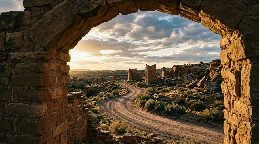
Start your journey in Cortez or Moab to explore dense concentrations of Ancestral Puebloan cliff dwellings.
This high-desert loop winds past sandstone canyons and ancient masonry towers that rival southern Utah national parks without the tour buses.
Plan for a leisurely three-day drive to give yourself plenty of time at visitor centers and short interpretive walking trails.
Pavement conditions remain smooth and well-maintained throughout the loop.
Byway Metrics
Key figures for your journey
2. The Nebraska Sandhills Journey
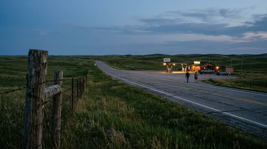
Can a drive through miles of grass and cattle ranches genuinely rival the dramatic abyss of the Grand Canyon?
You will experience the largest sand dune formation in the Western Hemisphere, blanketed in native grasses that shift colors from emerald green to amber gold.
Be prepared for a total lack of commercial sprawl, spotty cell service, and the need to fuel up proactively in towns like Alliance or Mullen.
Stop at the eccentric Carhenge roadside attraction near Alliance to stretch your legs and enjoy a truly unique piece of modern American folk art.
💡 Tip: Top off your fuel tank in Mullen before heading west across the open range.
Route Logistics Comparison
Grand Canyon Tourist Hubs
- Mandatory shuttle bus lines
- Crowded viewing platforms
- Strict timed-entry reservations
- Inflated lodging rates
Nebraska Highway 2
- Uninterrupted open horizons
- Zero lines at scenic turnouts
- Free roadside access
- Peaceful rural hospitality
3. The Cherohala Skyway
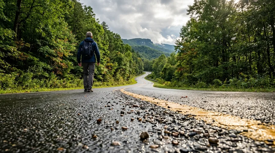
Bumper-to-bumper traffic plagues the Blue Ridge Parkway during peak autumn leaf season, but this mountain crest remains wonderfully open.
Entry to this national forest scenic byway is completely free with no vehicle fees, permits, or timed-entry passes required.
Gentle curves climb steadily to over 5,000 feet, offering sweeping overlooks of the Cherokee and Nantahala National Forests.
Skyway Highlights
4. The Natchez Trace Parkway
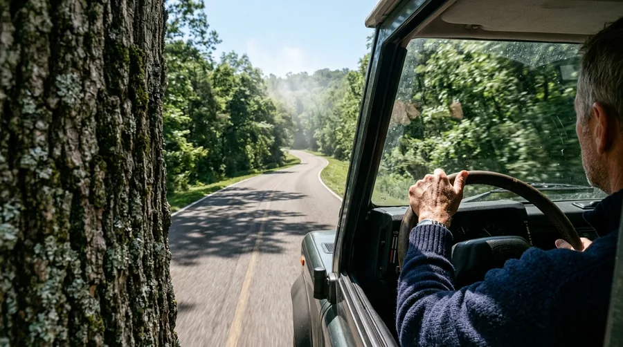
Your tires hum softly on a 444-mile commercial-free parkway as dawn mist lifts through stands of southern hardwood.
Target the golden window between 7:00 AM and 9:00 AM when local wildlife crosses safely and tourist traffic is nonexistent.
This quiet timing helps you avoid afternoon agricultural transport and catches soft, diffused light over ancient earthwork mounds.
🌅 Natchez Trace Morning Schedule
7:00 AM
Hit the road as dawn mist rises through the hardwood canopy.
8:00 AM
Pull over at historical earthwork mounds for quiet morning solitude.
9:30 AM
Stop in a nearby small town for a local diner breakfast.
5. The Peter Norbeck Scenic Byway
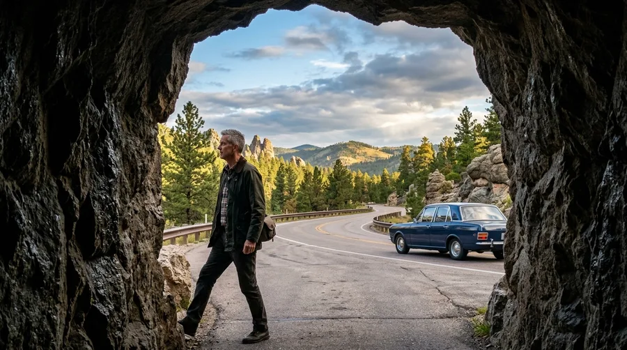
Driving this route requires active spatial calculation as you steer through hand-carved single-lane rock tunnels.
Maneuver your vehicle through the famous Eye of the Needle granite formation and negotiate tight, wood-pigtail bridges.
Outline active stops along Custer State Park, including stepping out to hand-feed begging burros or walking short boardwalk trails around Sylvan Lake.
Take your time on the switchbacks and yield to oncoming traffic in the tunnels.
Byway Specifications
🛣️ Distance
70 Miles
⏱️ Drive Time
3 Hours
🏔️ Terrain
Granite Tunnels
🛑 Pacing
Slow & Steady
Driver Alert
Expect tight single-lane turns and low clearance arches.
6. The Highway 12 All-American Road
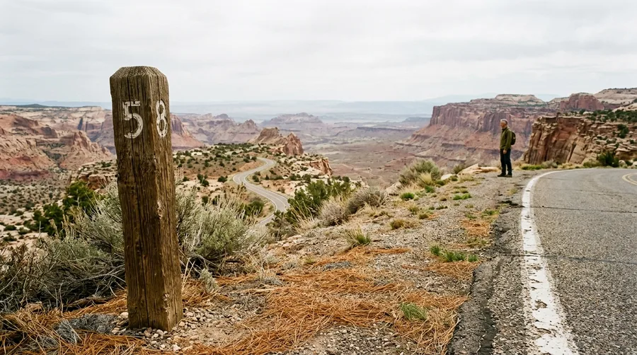
The smell of warm pine needles mixes with desert sage as you drive along a razor-back ridge with sheer drops at Hogback.
Escalante and Boulder feature eccentric pioneer-era general stores, local artisan galleries, and welcoming roadside diners.
Dramatic landscape transitions lead you from Bryce Canyon’s amphitheaters down through Grand Staircase-Escalante to Capitol Reef.
Break the 124-mile route across three leisurely days to allow for photography and short interpretive hikes.
💡 Tip: Book your lodging in Boulder well in advance during the spring and fall seasons.
Highway 12 Highlights
7. The Door County Coastal Byway

This peninsula features 300 miles of scenic shoreline, 11 historic lighthouses, and a maximum elevation grade of under 3%.
This route suits travelers seeking smooth asphalt, extensive ADA-compliant boardwalks at state parks, and frequent short-distance driving legs.
Rugged isolation and dramatic alpine verticality are absent here, making it ideal for a relaxed coastal weekend.
Weekend Budget Estimate
8. The San Juan Skyway
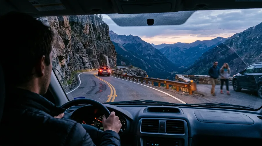
The Million Dollar Highway features sheer drop-offs with zero guardrails, requiring steady nerves and a reliable vehicle.
Budget roughly $350 to $500 per night for historic boutique accommodations like the Strater Hotel in Durango or Victorian inns in Telluride.
Elevate your trip by booking a private Jeep tour over alpine mining passes or riding the historic Durango & Silverton Narrow Gauge Railroad.
Check weather reports daily as mountain storms roll in quickly.
💡 Tip: Downshift manually on steep descents to save your brake pads from overheating.
Traveler Survey Insights
What senior drivers report about backroad routes
9. The Columbia River Gorge
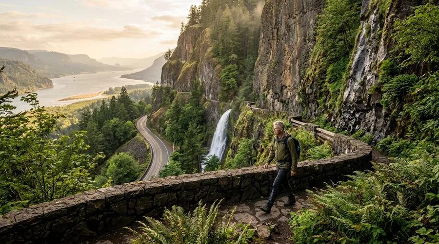
Heavy interstate traffic and packed parking lots at popular spots like Multnomah Falls can dampen your mood.
Park at lesser-known trailheads like Wahclella Falls or bike the car-free Historic Columbia River Highway State Trail sections.
The natural engineering and towering basalt cliffs genuinely surpass Grand Canyon scale for sheer waterfall density when you skip midday crowds.
Trip Planning Sequence
Frequently Asked Questions
What is the ideal vehicle type for senior-friendly scenic road trips?
Crossover SUVs provide high seating positions, excellent lumbar support, and large windshield visibility for effortless cruising.
How many miles should retirees drive per day to avoid fatigue?
Cap your daily driving stretches at 150 to 200 miles. This allows you to check into your lodging by 3:00 PM without rushing.
Are reservations required for national forest and state scenic byways?
Unlike major national parks, most designated state and national forest byways require zero reservations or timed entry permits.
What medical preparation is recommended for high-elevation drives?
Practice gradual acclimatization, stay well hydrated, and consult your physician regarding routes exceeding 8,000 feet of elevation.
The Road Less Traveled Is Waiting
The true measure of a great road trip is not how many tourists are watching, but how deeply the landscape restores you.
Turn away from crowded national park turnouts and embrace the open asphalt of America’s finest backroads.